Drones Reveal Secrets About Fossils
Drones and GPS helped scientists figure out that their method for estimating fossil ages isn’t always accurate.
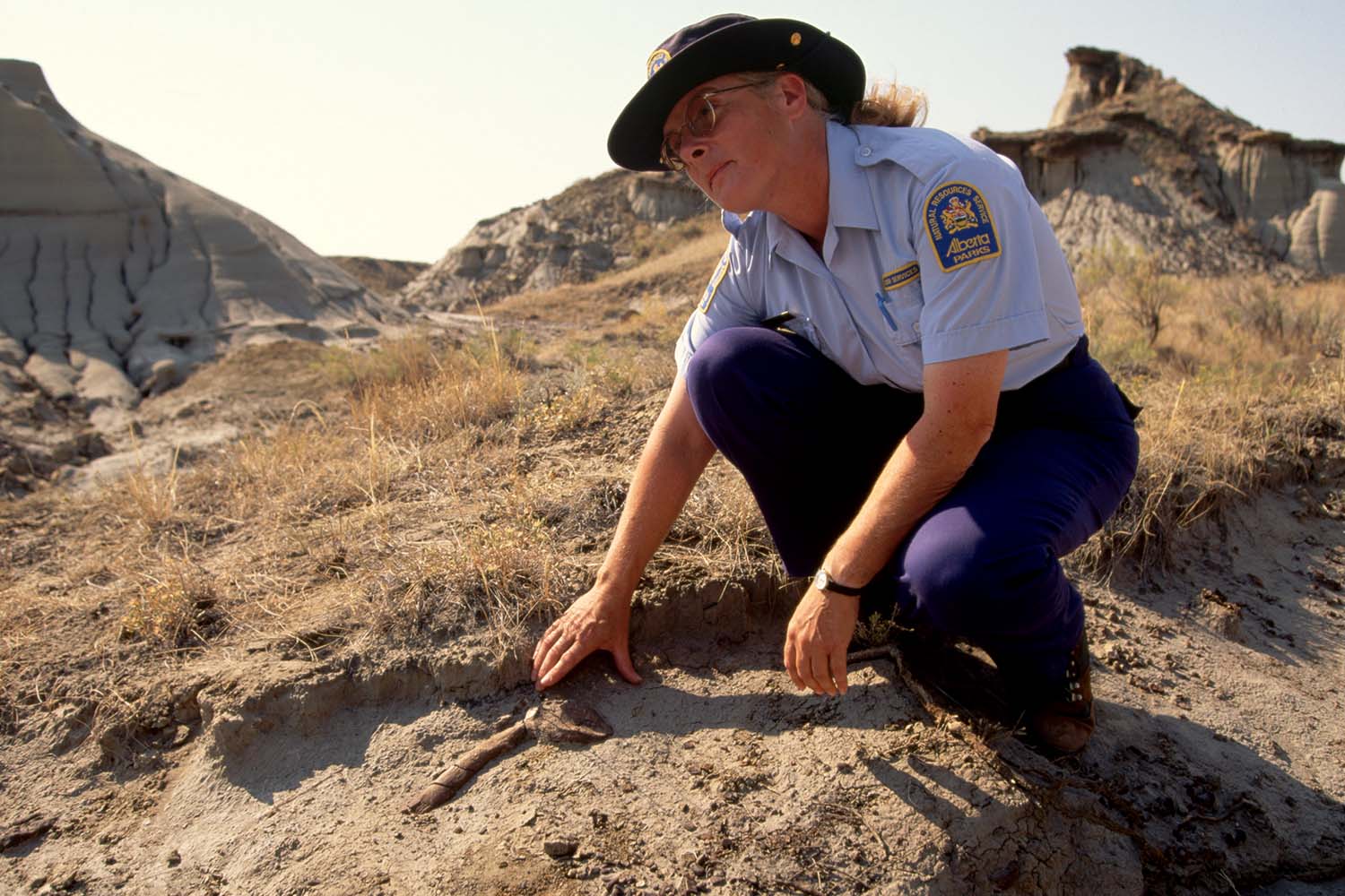
© Dave G. Houser—The Image Bank Unreleased/Getty Images
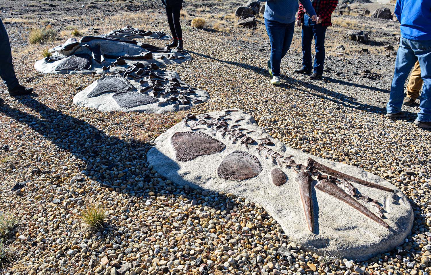
Dinosaur Provincial Park guide Hilary Tarrant shows off a fossil that was found in the park.
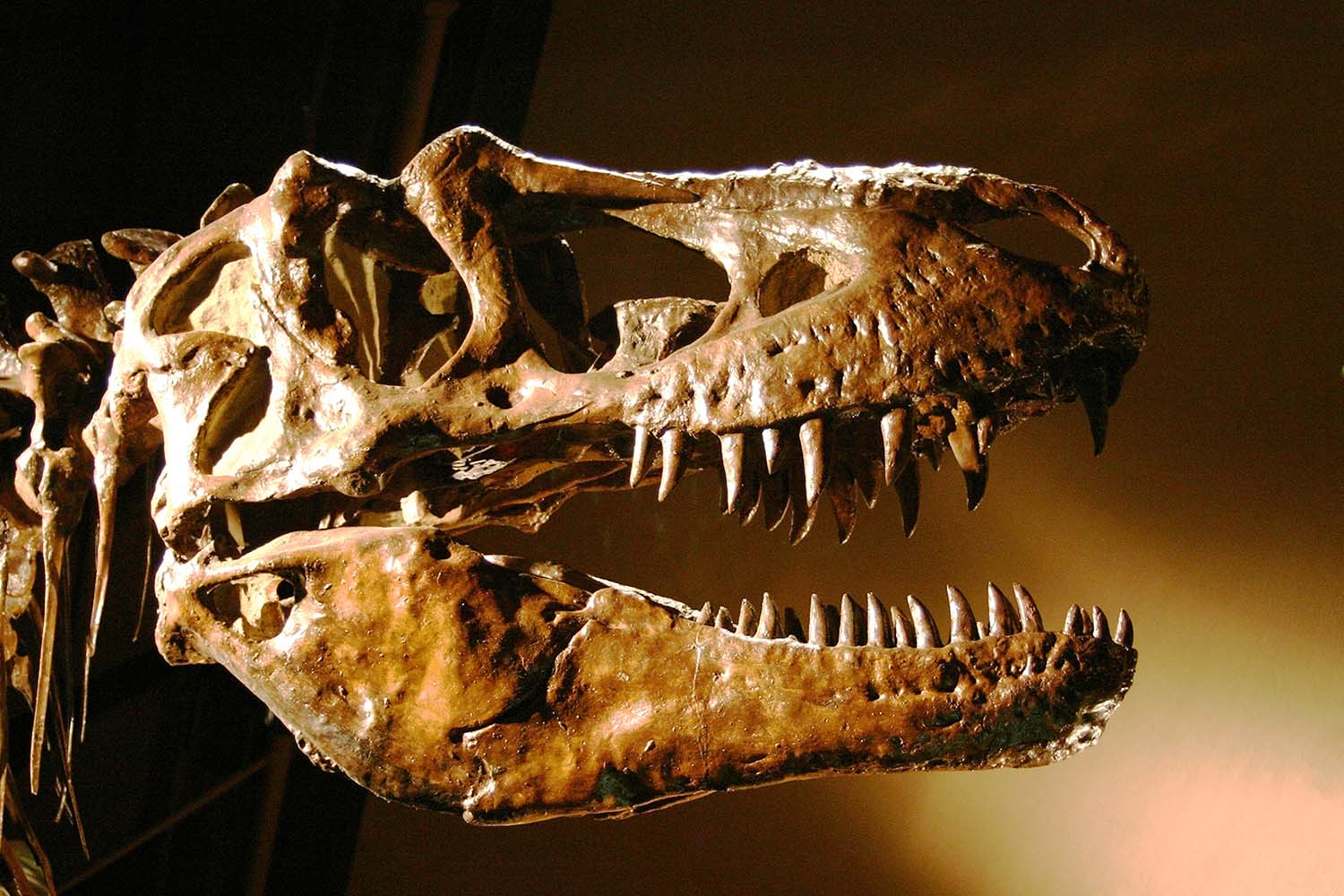
An area of Alberta, Canada, is so rich with fossilized dinosaur bones that it’s been named Dinosaur Provincial Park. The park has been a key location for fossil hunters for about 100 years. But in a recent study, drones and GPS technology helped to reveal that the method scientists have been using to estimate the age of the bones isn’t always accurate.
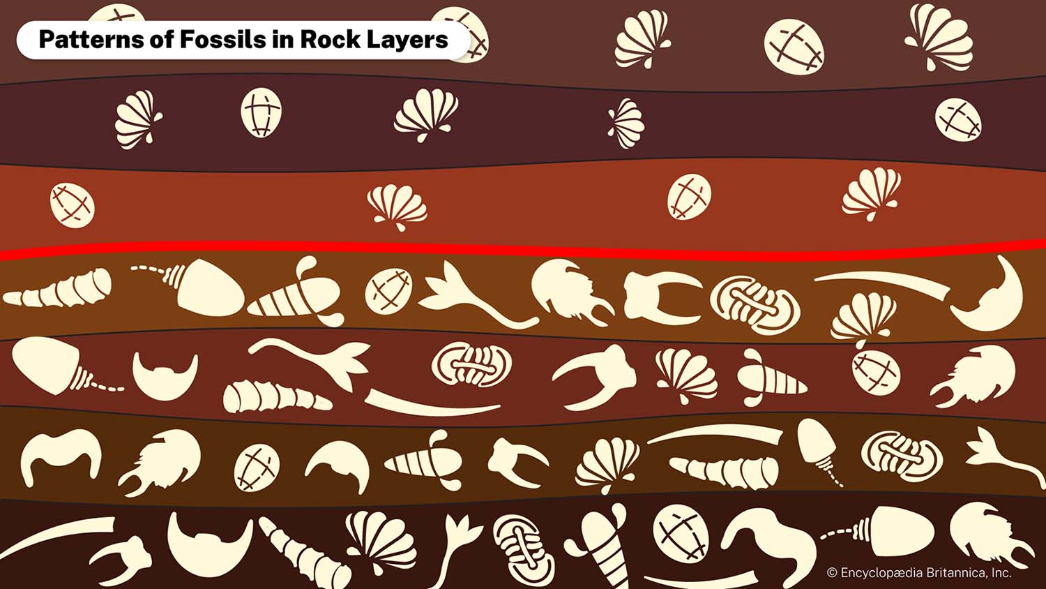
Paleontologists had been dating the park’s fossils by measuring their location relative to a boundary where two sedimentary rock layers meet. Since this type of rock forms in layers, scientists often conclude that the fossils found in lower layers are older than those found in upper layers.
To test this method, scientists at McGill University in Canada had drones fly over a section of the park and take about 1,000 high-resolution images. Using the images and GPS coordinates, scientists were able to create a 3D model of the landscape. They learned that the rock boundary they’d been using to date fossils fluctuates, or varies, in elevation by up to 39 feet (12 meters) within a short distance, suggesting that it doesn’t give very accurate information.
“We’ve essentially shown that the dating method used for decades in Dinosaur Provincial Park may not be as reliable as previously thought,” Alexandre Demers-Potvin, the study’s lead author, told McGill University.
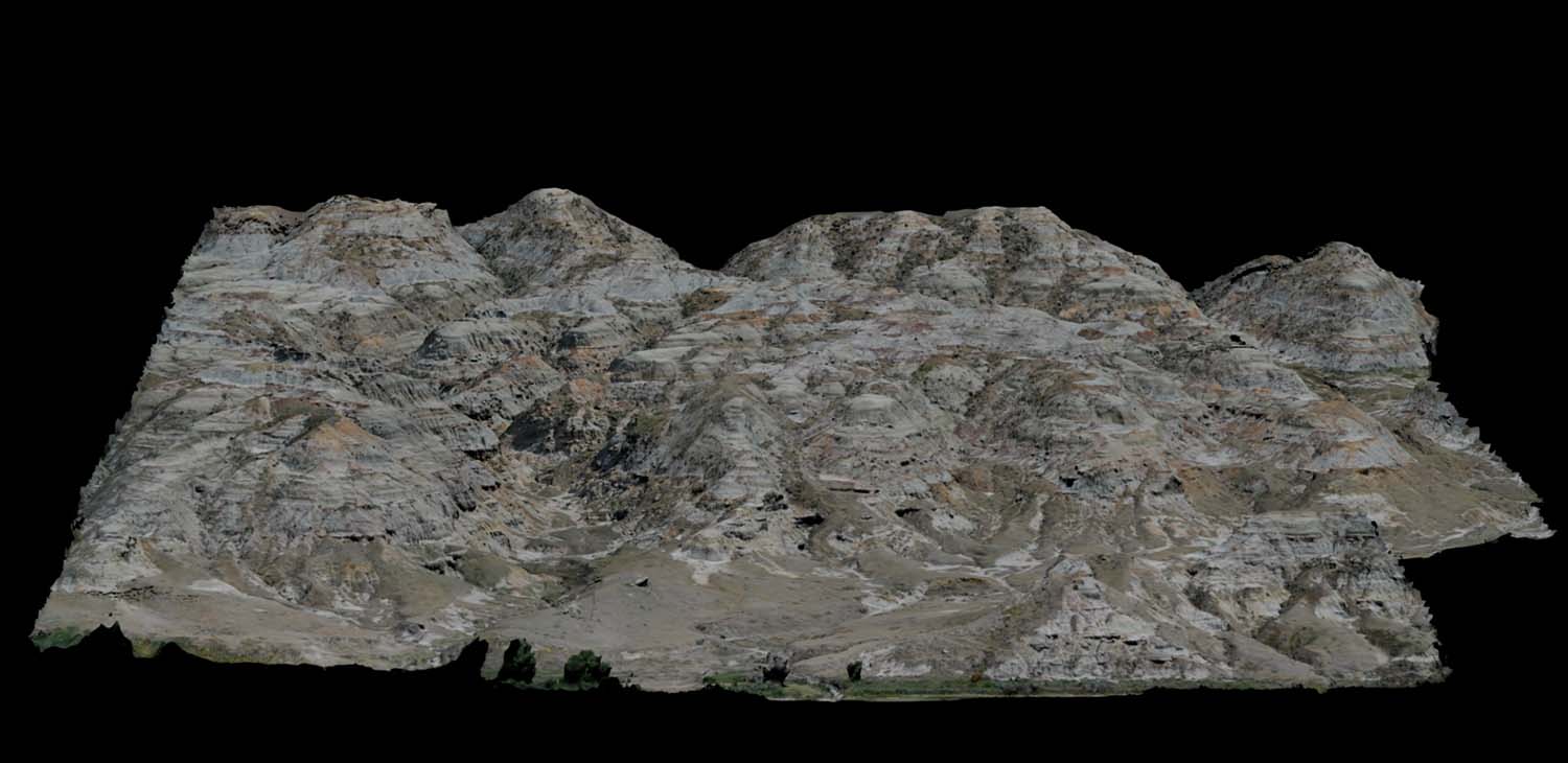
Courtesy of Alexandre Demers-Potvin/McGill University
Scientists used data gathered by drones to create this 3D rendering of an area of Dinosaur Provincial Park where many dinosaur bones have been found.
But Demer-Potvin and his team believe drone-assisted 3D modeling has opened the door to a better dating method because 3D models can be used to identify rock layers and trace them for long distances. This should paint a more accurate picture of when the fossils in each layer were created, giving scientists a new way to compare the different fossils in the park and determine how the organisms and their ecosystem changed over time.
“[3D modeling] might be a promising way to better understand which dinosaur fossils are actually older than others in that part of Alberta,” Demers-Potvin told the CBC. “If you’re able to take a step back by looking at a larger area from the air, it’s easier to notice those small differences.”